


FOR IMMEDIATE RELEASE
SÃO PAULO, BRAZIL – June 13, 2026 — MundoGEO Connect 2026, Latin America's most anticipated event for the geospatial technology and drone sectors, is gearing up to open its doors on June 16 in São Paulo. This premier annual exhibition will once again serve as a crucial platform for showcasing cutting-edge innovations, fostering vital business connections, and facilitating invaluable knowledge exchange among professionals, companies, and government entities from across the region and beyond.
Unveiling the Future of Geospatial and Drone Technologies
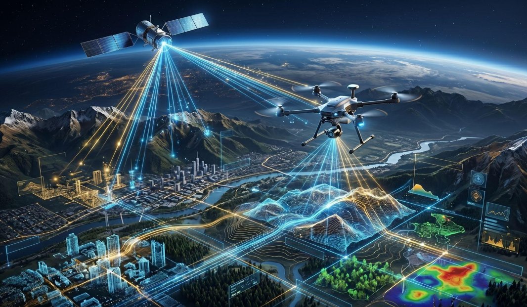
MundoGEO Connect 2026 is poised to deliver an unparalleled overview of the latest advancements across its core exhibit sectors. The Geospatial Technologies segment will showcase cutting-edge Geographic Information Systems (GIS), remote sensing solutions, satellite imagery, cartography, and Global Navigation Satellite Systems (GNSS). Attendees will explore advanced software for spatial analysis, data visualization, and mapping, alongside high-precision hardware such as GPS receivers and LiDAR systems. A strong emphasis will be placed on artificial intelligence (AI) and machine learning (ML) applications for geospatial data, cloud-based GIS platforms, and big data analytics crucial for environmental monitoring, urban planning, and resource management.
Concurrently, the Drones & UAVs sector will feature the newest unmanned aerial vehicles, diverse payloads, and advanced sensors like multispectral and thermal cameras. The exhibition will highlight drone-specific software for flight planning and data processing, alongside commercial drone applications in agriculture, infrastructure inspection, security, and logistics. Key technologies to be demonstrated include autonomous flight systems, real-time data transmission, and comprehensive drone fleet management solutions, addressing the evolving needs of various industries.
A Strategic Hub for Latin American Innovation and Business
The event is designed to attract a diverse and influential audience, including professionals, entrepreneurs, and public managers from critical sectors such as agriculture, smart cities, defense, energy, and transportation. Surveyors, cartographers, GIS analysts, remote sensing specialists, and drone operators will converge to discover innovative solutions and forge strategic partnerships. MundoGEO Connect 2026 offers a compelling value proposition: exhibitors will gain unparalleled access to the burgeoning Latin American market, enabling direct engagement with decision-makers, lead generation, and enhanced brand visibility. Professional buyers, in turn, will find a one-stop destination to compare cutting-edge technologies, gain insights from industry leaders through high-level forums, seminars, and workshops, and network with peers to identify tools that will enhance operational efficiency and competitiveness.
MundoGEO: Connecting the Industry for Over Two Decades
Organized by MundoGEO, a leading Latin American company renowned for its expertise in geospatial and drone content and events, MundoGEO Connect 2026 continues a legacy of connecting professionals and businesses. With a long-standing reputation built through magazines, portals, webinars, and major industry events like DroneShow and SpaceBR Show, MundoGEO ensures a curated experience. While specific historical statistics are not publicly available, past editions have consistently demonstrated significant growth and influence, successfully bringing together global brands and local innovators. This year’s event is set to further solidify its position as the essential gathering for the geospatial and drone industries in Latin America. Don't miss this opportunity to be at the forefront of industry innovation.
To learn more about the event, register, or explore exhibition opportunities, please visit mundogeoconnect.com/2026/en/.
###
About MundoGEO Connect
MundoGEO Connect is Latin America's premier annual event dedicated to the geospatial technology and drone sectors. Organized by MundoGEO, a leading company in content and events for these industries, it serves as a crucial platform for showcasing innovations, fostering business connections, and facilitating knowledge exchange. The exhibition brings together professionals, companies, and government entities involved in GIS, remote sensing, GNSS, photogrammetry, and unmanned aerial vehicles, providing a comprehensive overview of the latest trends, products, and services.
Media Contact
Contact Name: Media Relations
Company: MundoGEO Connect Press Office
Email: [email protected]